MAPS
|
|
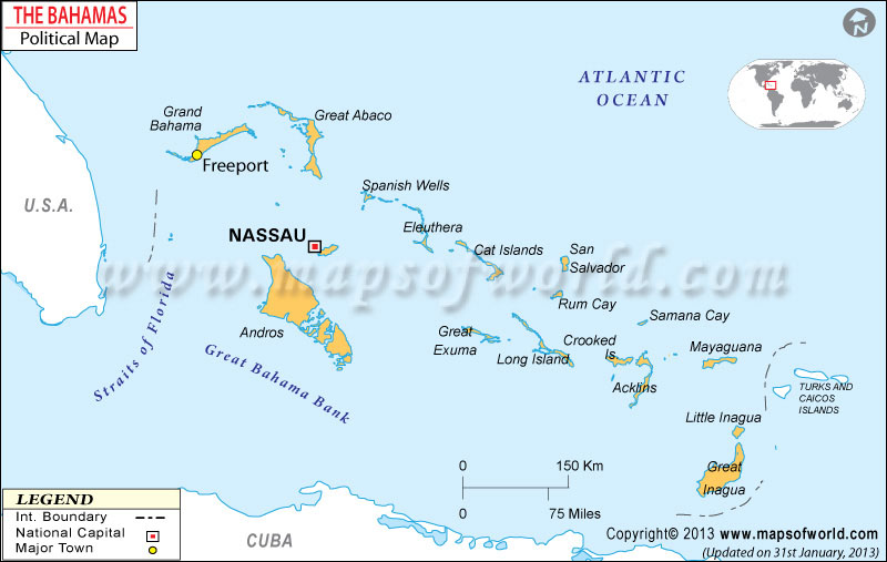
“The Bahamas Political map showing the international boundary, 31 districts boundaries with their capitals and national capital.”
|
|
|
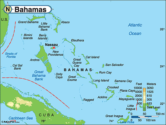
“In addition to country borders, major cities and significant bodies of water, Physical Maps indicate the location of landforms like deserts, mountains and plains. This type of map also displays major cities and regions. Physical Maps are commonly used to see elevation and land contours as well as major rivers and lakes.”

The Bahamas is located in the continent of North America.
